Australia Severe Weather Outlook
This tool analyzes BOM atmospheric soundings and Google GraphCast data to assess severe weather potential across Australia and globally.
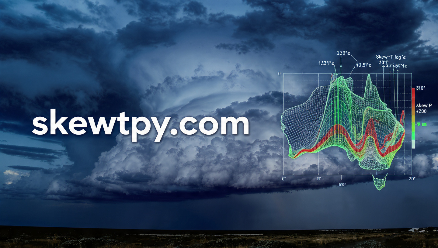
Below is an interactive map showing severe weather potential across Australia. Click on a radiosonde station (circles) to view detailed analysis, or click anywhere on the map to generate an ML forecast Skew-T for that location.
Threat Level
How to Use
Radiosonde Stations: Click the circular markers to view full analysis including observed Skew-T diagrams,
hodographs, and threat assessments from the actual radiosonde data.
Any Location: Click anywhere else on the map to generate an ML-derived Skew-T forecast
using GraphCast model data for today's afternoon.
✈️ Contrail Forecasts
Plan contrail-free flight routes across Australia. Interactive maps show altitude bands where persistent contrails form, helping reduce climate impact and improve flight visibility. Updated every 6 hours with GraphCast ML forecasts.
- Flight Levels: FL250, FL300, FL350, FL410
- Forecast Range: 0-48 hours with time slider animation
- Point Analysis: Click anywhere for vertical contrail profile
- Science: Schmidt-Appleman criterion + RH w.r.t. ice (RHi)
🌧️ Rainfall Forecasts
Global 48-hour precipitation forecasts from the AIGFS ML weather model. View rainfall predictions on an interactive 3D globe or as an overlay on the frontpage map.
- Modes: 6-hour accumulation or cumulative total
- Forecast Range: 0-48 hours in 6-hour steps
- Coverage: Global (3D globe) or Australia (overlay)
- Color Scale: Trace to extreme (>50mm) rainfall
📚 Severe Weather Education Blog
Learn about atmospheric science, severe weather forecasting, and meteorology with beginner-friendly guides written by experienced forecasters. Understand the science behind the analysis.
- Latest: Why Wind Shear Matters in Thunderstorms
- Topics: CAPE, shear, supercells, Australian severe weather
- Level: Beginner to intermediate meteorology enthusiasts